Spatial Technologies Ltd (STL) –Nigeria’s foremost Geographic Information System solution provider and supplier of accurate Nigerian geographic data is happy to announce that it had entered into a contractual agreement with Airtel Nigeria Ltd for the supply of accurate geographic map.
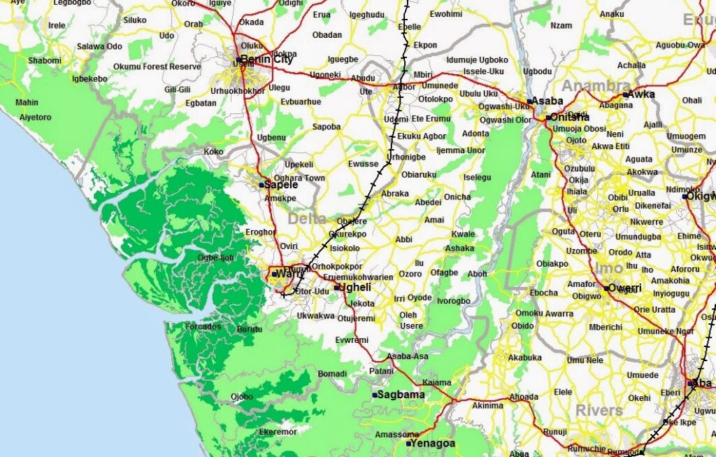
Under this contract, STL is expected to supply the street level map of over 150 Nigerian large, medium and small cities. Other GIS layers included in the agreement are:
- Over 200,000 Points of Interest
- National Highway network data maintained by the Federal Republic of Nigeria
- Road network maintained by their respective State governments
- Road network maintained by Local Governments
- A layer showing the national railway network across the country
- Hierarchical administrative boundaries covering State, and Local Government Areas across Nigeria
- A set of derived crisp boundary data indicating the estimated extent of Cities and Towns across Nigeria
- Electoral Boundaries showing all the hierarchical electoral boundaries across Nigeria comprising Senatorial Boundaries and Geo-Political Boundaries
- Natural Water Bodies
- Vegetation patches
“We are happy to supply Airtel Nigeria with what is arguably the largest mapping data ever supplied to a telecom operator in Nigeria” said Ireti Ajala -the CEO of STL. “Airtel has been a valued customer of STL since their first contract with us in 2010 and we are thrilled to have the opportunity to extend our business relationship with them again, by the addition of this impressive GIS data layers. Airtel Nigeria Ltd has always been in the forefront of leveraging the compelling power of GIS in Nigeria. The supply of this extensive geodatabase will further assist this global brand in meeting their goal of supporting their rapid growth in Nigeria, while maintaining high quality customer satisfaction.“
According to data obtained from the website of the Nigerian Communications Commission (NCC), Airtel Nigeria’s subscriber base hit 26.20 million at the end February 2014, representing 21% of the total number of subscribers in the country during the period under review. This phenomena growth effectively cements Airtel’s position as Nigeria’s second largest telecoms Operator

Collins Anyanwu –STL’s Corporate Data Manager said: “Airtel Nigeria Ltd had set an acceptance criteria for quality and accuracy of the data to be supplied. This is to ensure that the expected geodatabase is delivered to meet specific goals and the data quality delivered are measured, assured and validated.
To ensure that STL delivers world class data at a high level of spatial accuracy and consistence, STL used the principles of ISO 19114 standard of Geographic Information Quality which provides uniform guidelines for determining quality measure the overall data quality of the deliverable geodatabase. We are confident that the geodatabase we are delivering will be a beneficial solution to Airtel and will enable them to work more efficiently in helping them meet their operational and business vision.”
About Airtel Nigeria Limited
Airtel Nigeria Limited is a subsidiary of Bharti Airtel Limited which is a leading global telecommunications company with operations in 20 countries across Asia and Africa. Headquartered in New Delhi, India, the company ranks amongst the top 4 mobile service providers globally in terms of subscribers. Bharti Airtel had over 300 million customers across its operations at the end of July 2014.
To know more please visit, www.airtel.com
About STL
STL is Nigeria’s foremost mapping and GIS consulting company. STL specializes in developing geospatial databases and solutions about Nigeria for the Nigerian market. The company has extensive experience in collecting and processing data from geographic information sources as digitized maps, satellite imageries and aerial data. STL is seriously investing in what is now regarded as Nigeria’s largest geo-spatial database by any private company. STL’s maps and solutions power the operations of companies in telecom, vehicle tracking, retail marketing, banking, construction, and Government Agencies.
STL recently received the prestigious West African Convergence Leader Award in the provision of Geographic Information Systems (GIS) solutions across West Africa.