Our mission is to provide the very best in mapping services and data to our clients. For almost a decade, we have enjoyed tremendous success in delivering intelligent geospatial solutions and data products to many companies in Nigeria including Airtel, UBA PLC, Google, etc.
Our data products have been regularly versioned, detailed and documented. Presently they are being updated from satellite images and field surveys. The data sets are widely used for business applications where demographics and market information are critical. They are also used for navigation and routing applications.
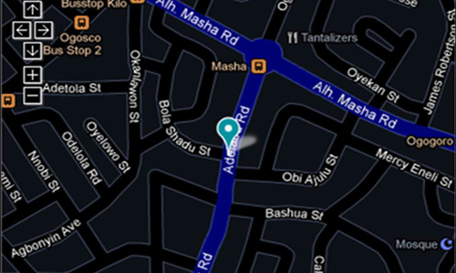
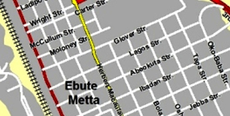
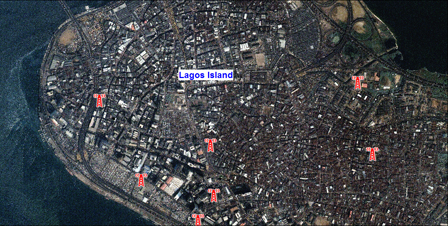
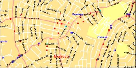
Street level map covering over 120 cities across Nigeria. Our street data are ideal for vehicle tracking, GPS navigation and business analysis.
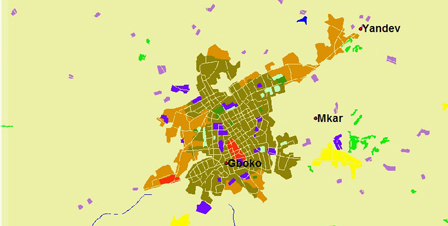
Landuse / Clutter Data
STL's Clutter Data has been developed for the Radio Frequency (RF) Propagation environment to help Telecom Engineers refine their signal loss prediction models
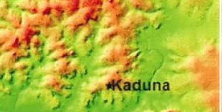
Digital Elevation Data
We have in our archive 50m resolution DEM data covering the entire Nigeria while 20m resolution DEM data is available for over 70 cities.
Demographic Data
STL provides demographic analytics and visualizations down to Local Government Areas and Electoral Wards. All of our demographic datasets are use sourced from National Population Commission
Satellite Imagery
We help source clear satellite imageries at different resolutions. How can we help you leverage on sub 1m resolution multispectral Imagery?